"Magna Carta Mundi" Framed Poster
- High-Quality Prints: Our framed art prints are crafted with premium inks to ensure vibrant colors and sharp details that bring any image to life.
- Durable Frames: Each print is encased in a professional-grade aluminum front-loading snap frame, offering both durability and ease of use.
- Perfect for Any Space: Ideal for enhancing the decor of your home, office, or any living space, making a bold statement and showcasing your unique style.
- Versatile and Timeless: These framed prints are perfect for art enthusiasts and collectors, providing a timeless piece that complements any interior design.
- Bundle and Save: Add another framed art print from our collection to your cart and enjoy a 30% discount on your entire order!
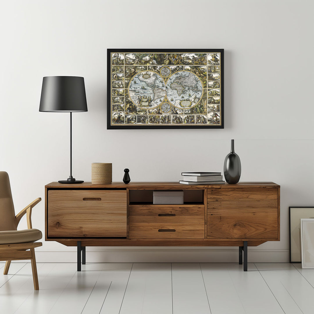
An ornately detailed vintage world map in twin hemispheres, surrounded by numerous small panels depicting historical and cultural scenes
Framed poster features an ornate, vintage world map presented in two circular hemispheres. Surrounding the map are intricate panels depicting various historical and allegorical scenes. Each smaller panel appears to illustrate different activities, cultural interactions, and possibly mythological events, with detailed drawings of people engaged in various tasks and ceremonies. The map itself includes geographic details with names of continents such as Europe, Africa, and America visible. The design of the map is detailed, with various lines depicting longitudinal and latitudinal measures.
Framed poster features an ornate, vintage world map presented in two circular hemispheres. Surrounding the map are intricate panels depicting various historical and allegorical scenes. Each smaller panel appears to illustrate different activities, cultural interactions, and possibly mythological events, with detailed drawings of people engaged in various tasks and ceremonies. The map itself includes geographic details with names of continents such as Europe, Africa, and America visible. The design of the map is detailed, with various lines depicting longitudinal and latitudinal measures.