"Map of Canada" Framed Poster
- High-Quality Prints: Our framed art prints are crafted with premium inks to ensure vibrant colors and sharp details that bring any image to life.
- Durable Frames: Each print is encased in a professional-grade aluminum front-loading snap frame, offering both durability and ease of use.
- Perfect for Any Space: Ideal for enhancing the decor of your home, office, or any living space, making a bold statement and showcasing your unique style.
- Versatile and Timeless: These framed prints are perfect for art enthusiasts and collectors, providing a timeless piece that complements any interior design.
- Bundle and Save: Add another framed art print from our collection to your cart and enjoy a 30% discount on your entire order!
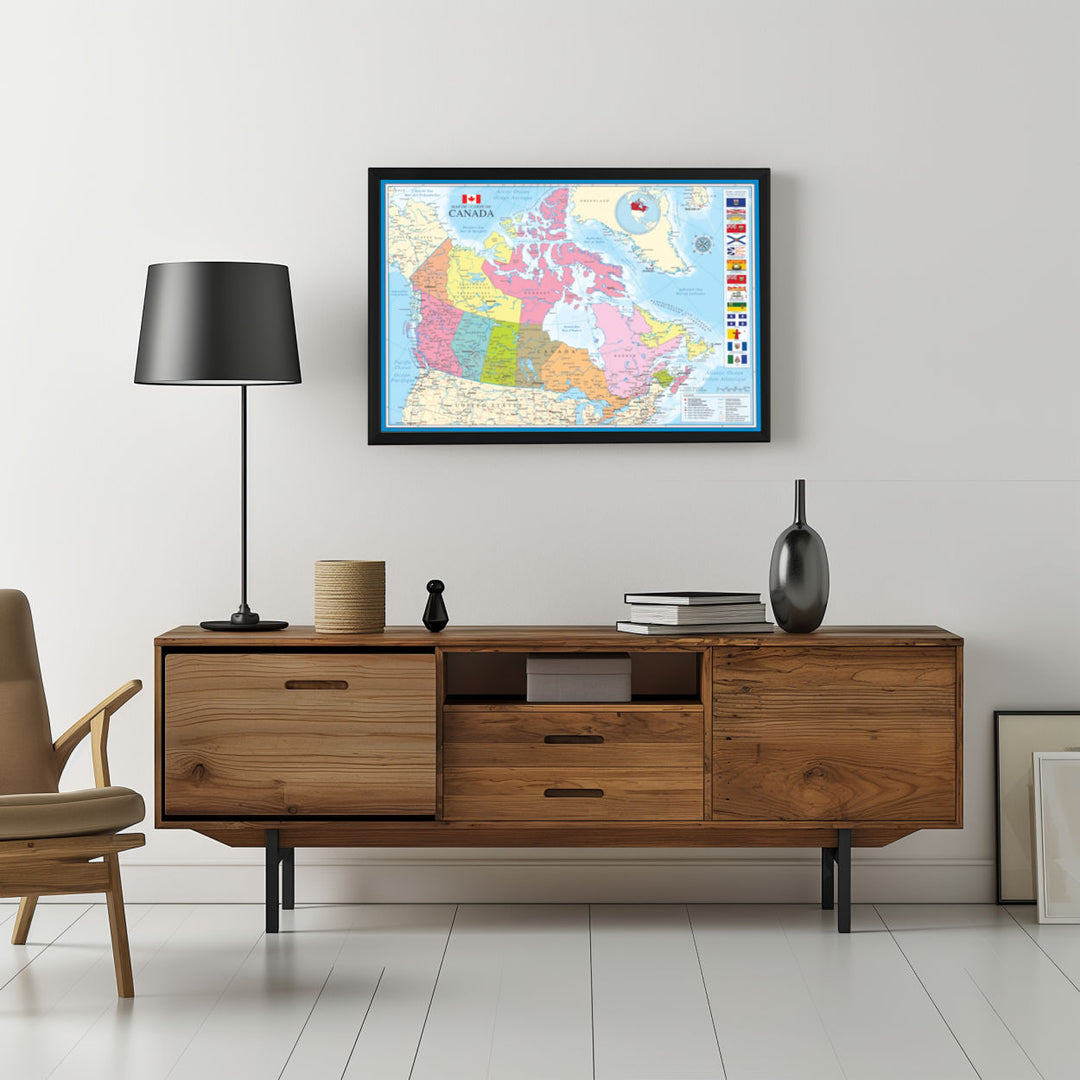
A framed map poster of Canada showing provinces and territories in different colors, including major cities and geographical landmarks, with provincial flags and a bilingual city index on the right side.
Framed poster featuring a detailed map of Canada with each province and territory shown in a different color. Notable features include major cities, bodies of water, and geographical landmarks. The northernmost regions and the Arctic Archipelago are also illustrated. Off to the right, there are flags of different Canadian provinces and territories along with a section detailing selected cities and their respective bilingual nature. The map includes a compass rose and a small inset map showcasing the Canadian Arctic region. A framed border adds a formal touch to the presentation of the map.
Framed poster featuring a detailed map of Canada with each province and territory shown in a different color. Notable features include major cities, bodies of water, and geographical landmarks. The northernmost regions and the Arctic Archipelago are also illustrated. Off to the right, there are flags of different Canadian provinces and territories along with a section detailing selected cities and their respective bilingual nature. The map includes a compass rose and a small inset map showcasing the Canadian Arctic region. A framed border adds a formal touch to the presentation of the map.
